


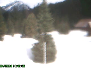


Tues Eve.. Lake is now heading up, watch the prediction on the Peshastin Gauge linked to below, went pretty much straight up today… always goes up faster than it comes down…
Tues 9am Update: Rained all night steadily at the lake. The lake level has NOT risen since yesterday afternoon. The snow pack has compressed and is very wet, it appears to be holding the rain.
The television news reports this morning were featuring flood forecasts as a result of recent heavy snowfall in the mountains followed by warming weather and heavy rain. This is the same scenario seen in November of 1990 and November of 1994 when the lake flooded- the lake level coming up something like 17 feet in 24 hours. We had 30 and then 35 inches of water in our basement those years as I recall. This current storm has brought us 27.25 inches of snow.
The current river flow forecast is currently showing about a 3 foot rise in the river level at Peshastin. We normally get about ¾ of what they predict for the rise there . so we should be OK if reality follows the forecast, the lake probably rising to just about what we see during Spring high water. There is some wind that should be factored in there also.
Here are some websites/links that you might want to keep to track our forecast weather and river flows.
Weather forecast pinpointed at Lake Wenatchee:
River Flow forecast 2 pinpointed at Peshastin
The Lake Wenatchee forecast is currently showing snow/freezing rain/rain until midday today then rain in differing intensities through Wednesday at least.